Jodhpur City Map Illustration - Illustrated Maps  by City Map Illustrator Rod Hunt,  a professional city map illustrator
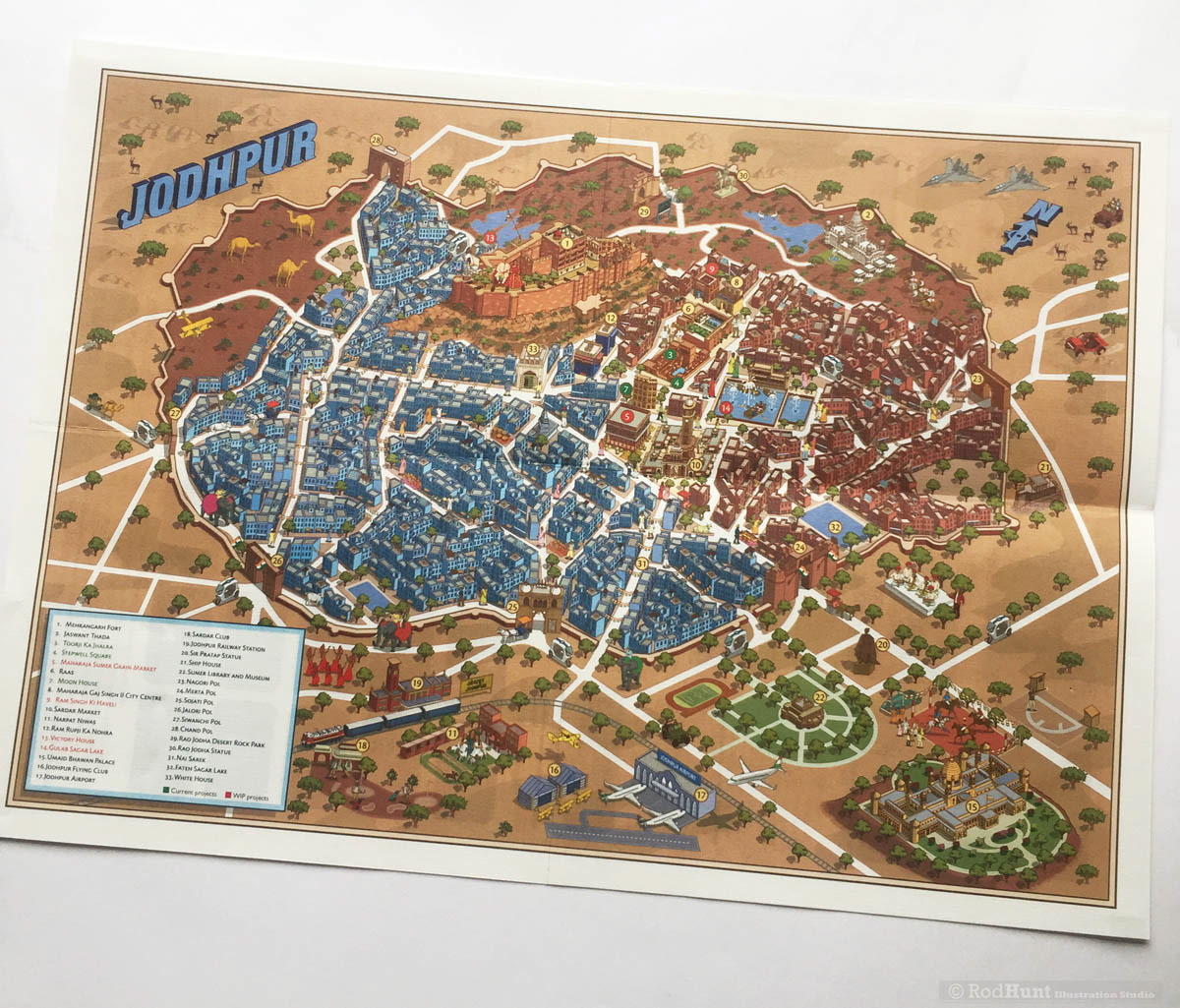
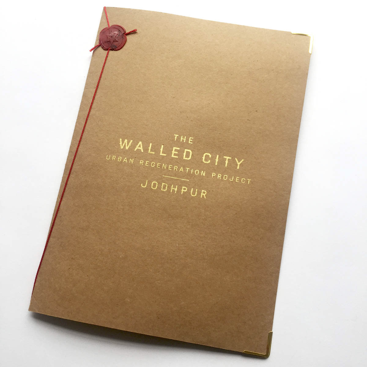
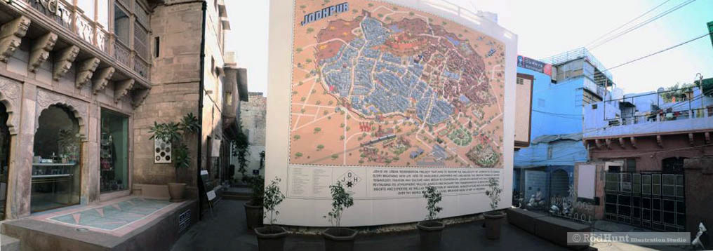
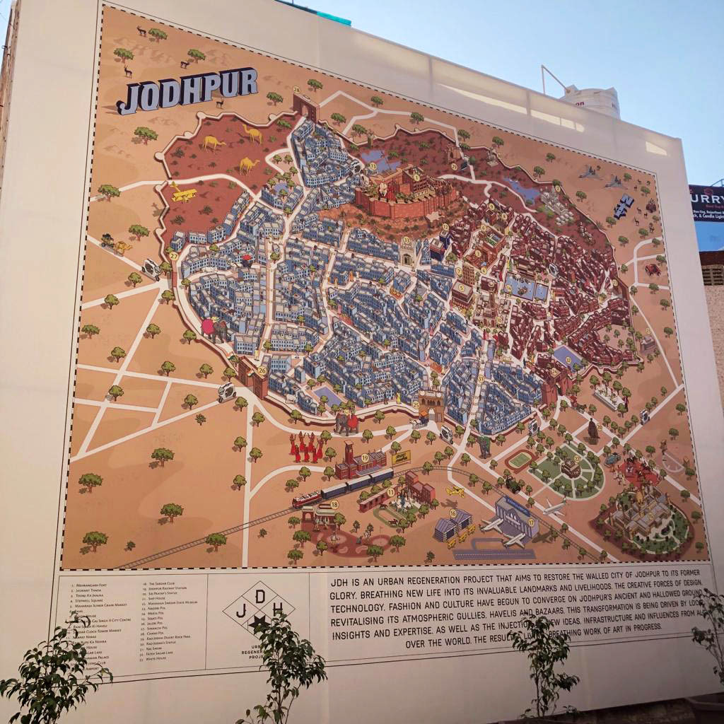
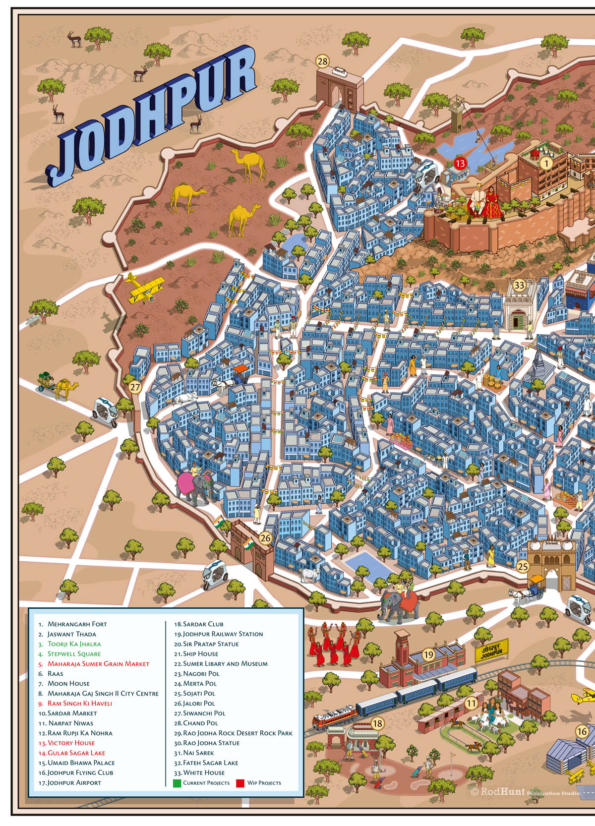
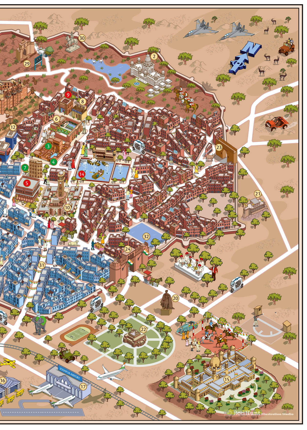
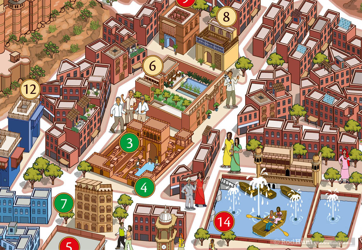
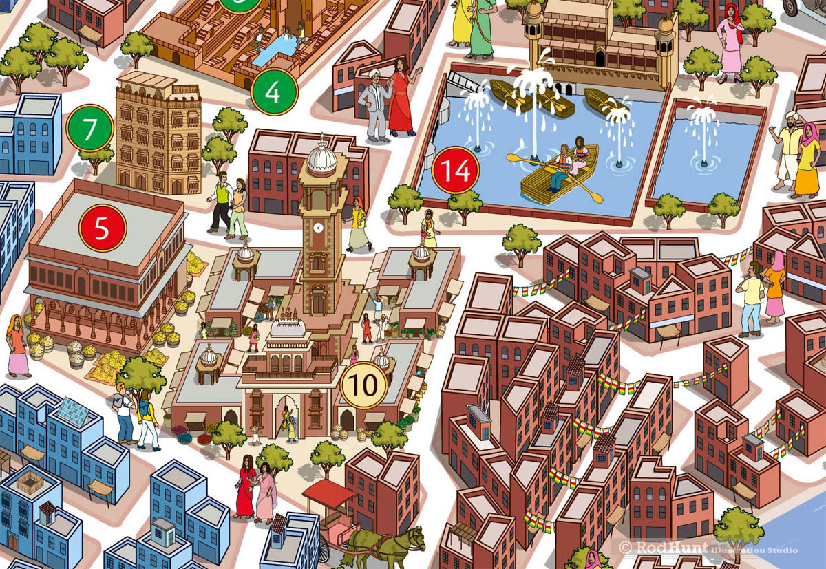
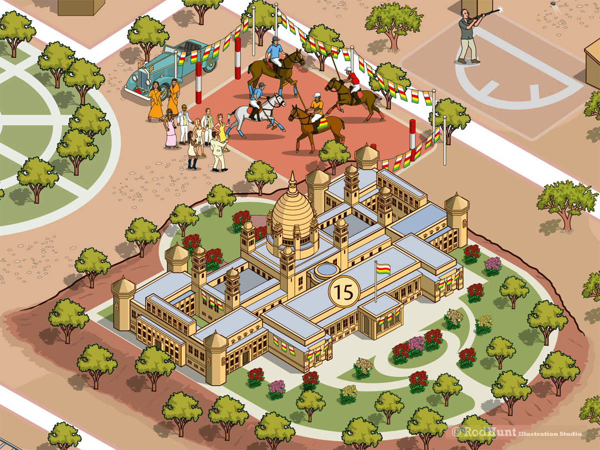
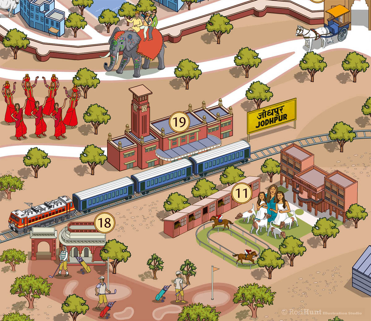
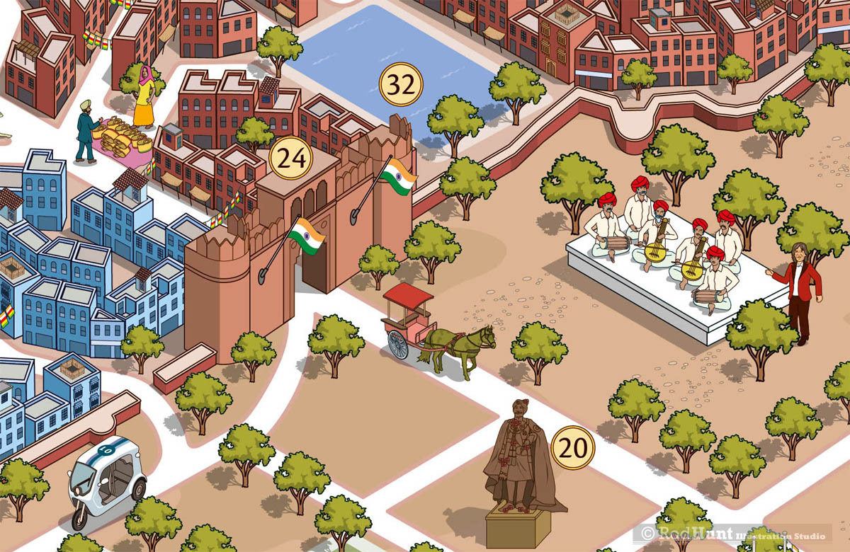
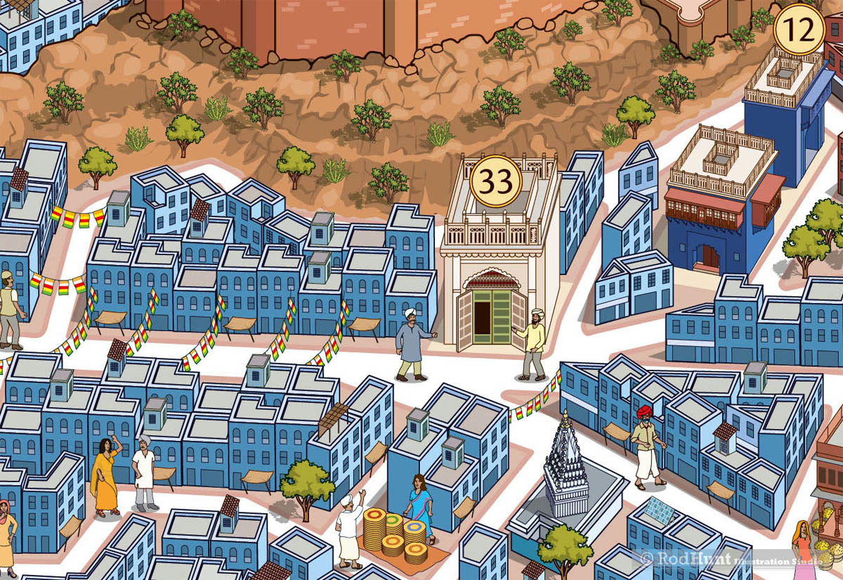
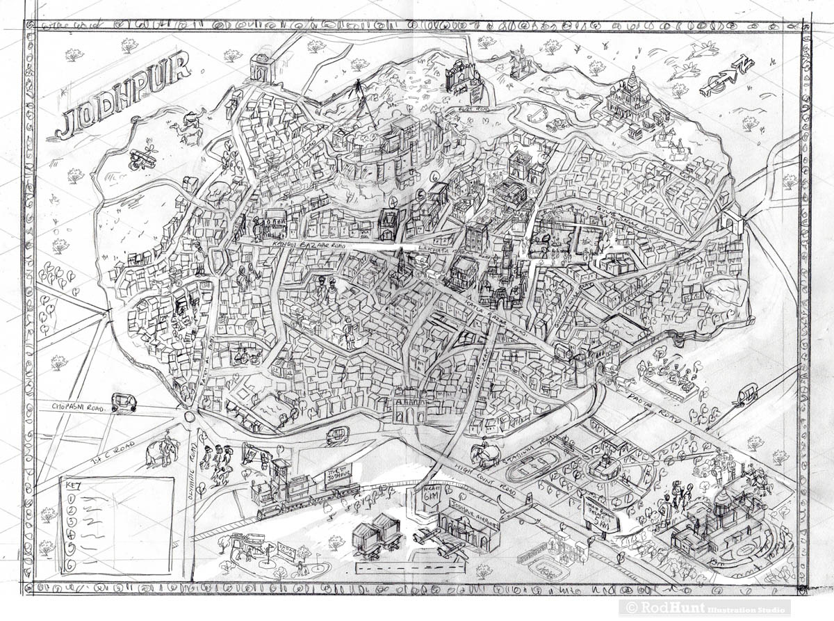
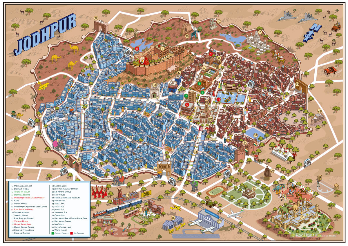
Rod Hunt was commissioned to create a detailed and expansive map of Jodhpur by The JDH, an Urban Regeneration Project that aims to restore the Walled City of Jodhpur to its former glory, breathing new life into its invaluable landmarks and livelihoods. The map of this ancient city needed to capture a sense of fantasy and magical reality that included Jodhpur's key landmarks and monuments as well as elements of Jodhpur's rich culture, architecture and landscape. The map was also installed as a large scale mural near the historic Stepwell.

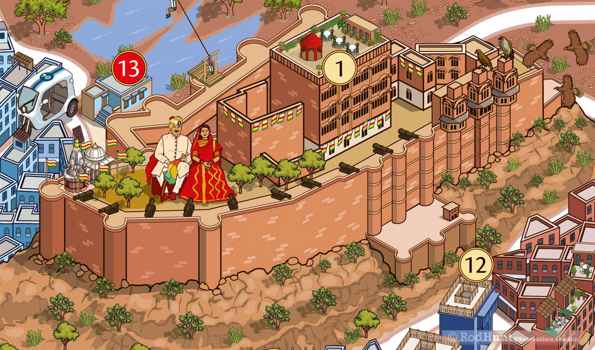
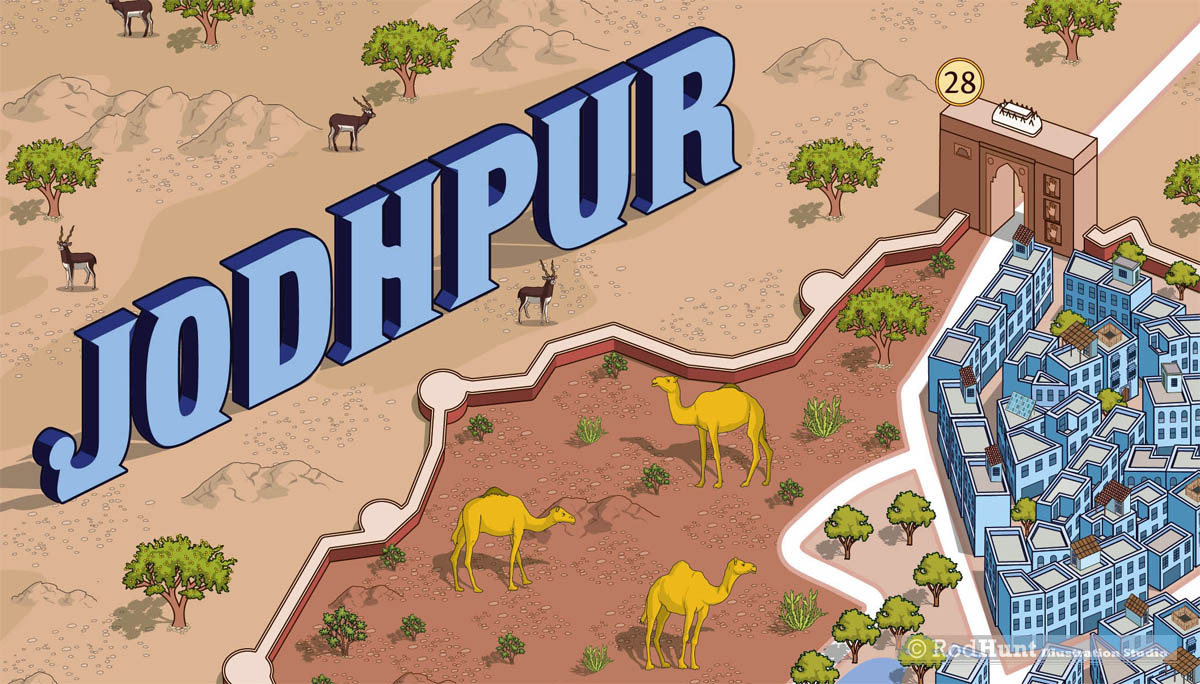
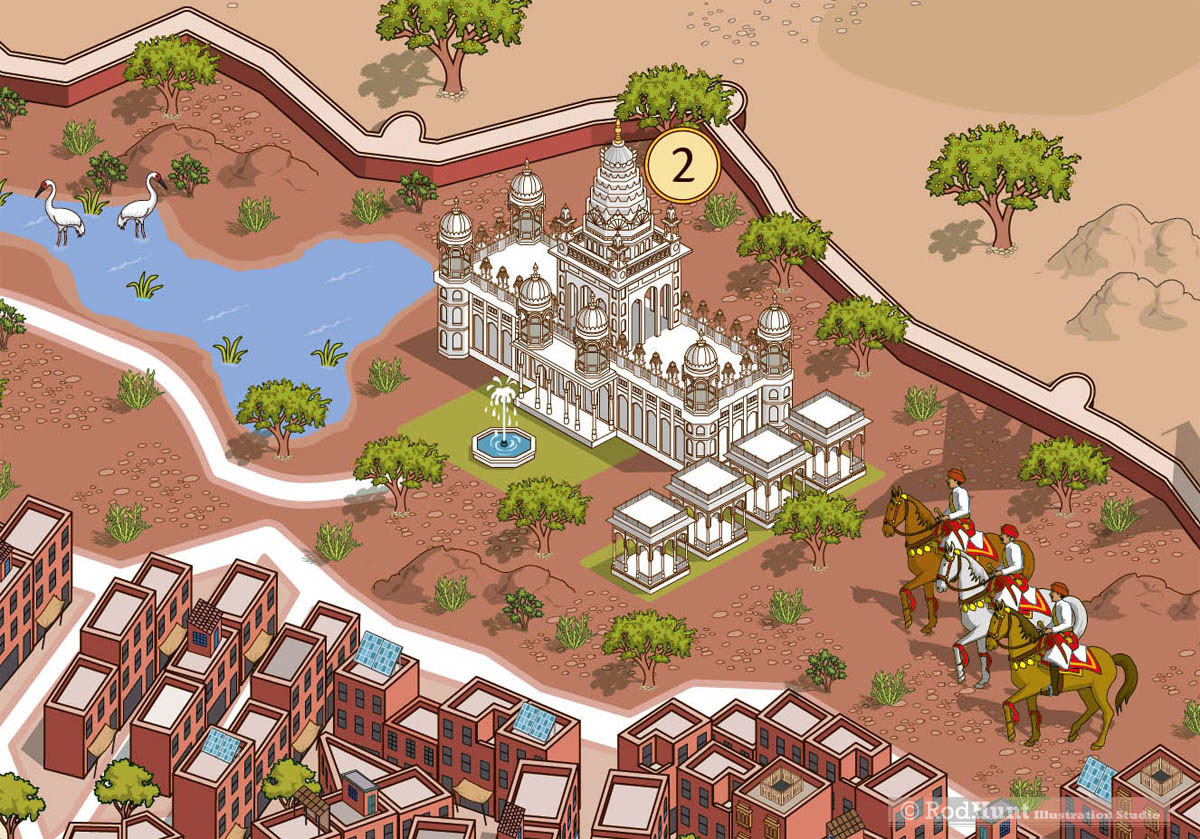
Situated on the eastern edge of the Great Indian Thar Desert, Jodhpur was founded in AD 1459 by the warrior Rathore Rajput Chief, Rao Jodha. The second largest of Rajasthan’s great cities, it is a bustling microcosm watched over by the mighty colossus of Mehrangarh Fort.
Map illustrator, Illustrated map artists - Detailed isometric illustrated city map of Jodhpur, India created by map designer Rod Hunt
Presentation Pack and Graphic Design for The JDH, an Urban Regeneration Project
Jodhpur City Map Large Mural illustration
Illustrated Map Artist, public art mural - Jodhpur City Map Large Mural illustration
Illustrated Detailed City Map - Jodhpur India
City Map Illustrator
Commissioned map for Urban Restoration Project
Mehrangarh Fort Illustration and art
Walled City of Jodhpur city guide
Jodhpur Landmarks and tourist attractions Illustrated
City Map Design
Landmarks and tourist attractions in Jodhpur
Palace, Jodhpur
Cityscape Illustration
Walled City of Jodhpur, India travel guide illustration
Buildings and Architecture illustrated
Original Pencil Sketch for Jodhpur Map
Back to Top